Forest (open and closed), & non-forested (grasslands and scrublands).
vegetation
Forest (Open & Closed), & Non Forest (Grasslands & Shrublands).
8
70,288,689
17,885.16
27.12
3
Body of water
Watercourses, lagoons, reserves, & streams.
Water
Lagoons, Reservoirs and flows, Streams & Watercourses.
11
11,534,391
2,934.96
4.45
4
African
Wooded (mangroves), & not wooded.
Wetlands
Forested (mangroves) & Unforested Wetlands.
8
31,722,176
8,071.80
12.24
Total 259,133,876
Total 65,937.37
Total 100.00
Summary
Land cover and land use maps are essential tools for environmental agencies and organizations dedicated to environmental management, conservation, and planning, such as those focused on the San Juan Bay Estuary (ESBSJ). To understand the changes the landscape has undergone, a land cover and land use map was developed using Geographic Information Technologies. Using remote sensing and the Google Earth Engine (GEE) platform, a digital classification of the ESBJ boundary was created using a mosaic of cloud-free satellite images from 2020, originally from the European Copernicus program (Sentinel-2). The Random Forest algorithm, a supervised classification method commonly used for land cover studies, was employed. Five classes were defined: water bodies, wetlands, vacant land, urban land, and vegetation. To evaluate the classification, processes such as the Kappa coefficient (88%), overall accuracy (91%), and the development and interpretation of a confusion matrix were performed. In general terms, erosion was found in various parts of the coast, along with a decrease in the size of water bodies and an increase in vegetation in areas previously classified as wetlands. This cartographic product can serve as a resource for decision-making regarding the management and planning of the EBSJ land.
Chart: Area by land cover class and land use
Land Cover and Land Use Map Document
To read the details of the development of the Land Cover and Land Use map, click on the following link:
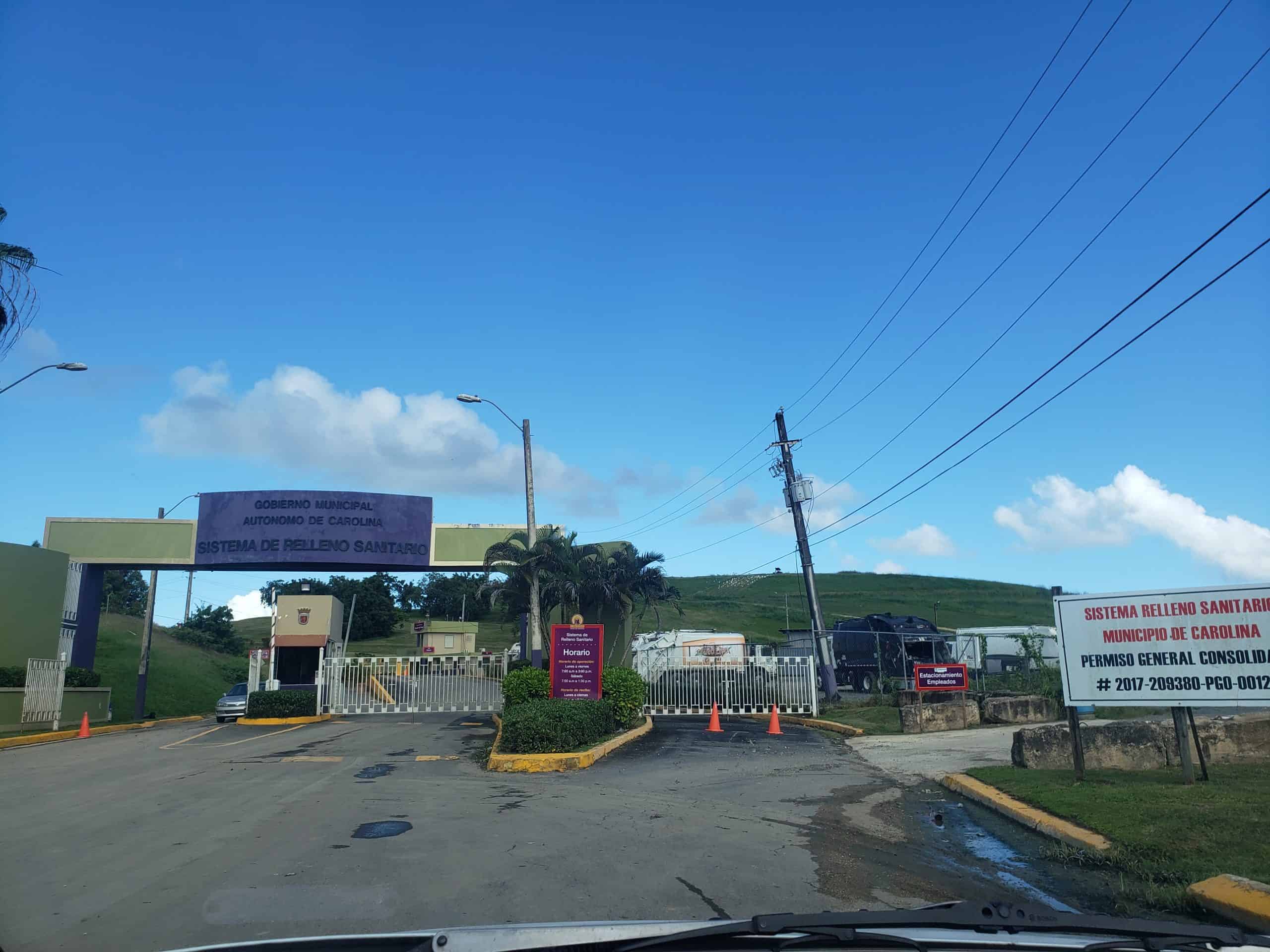
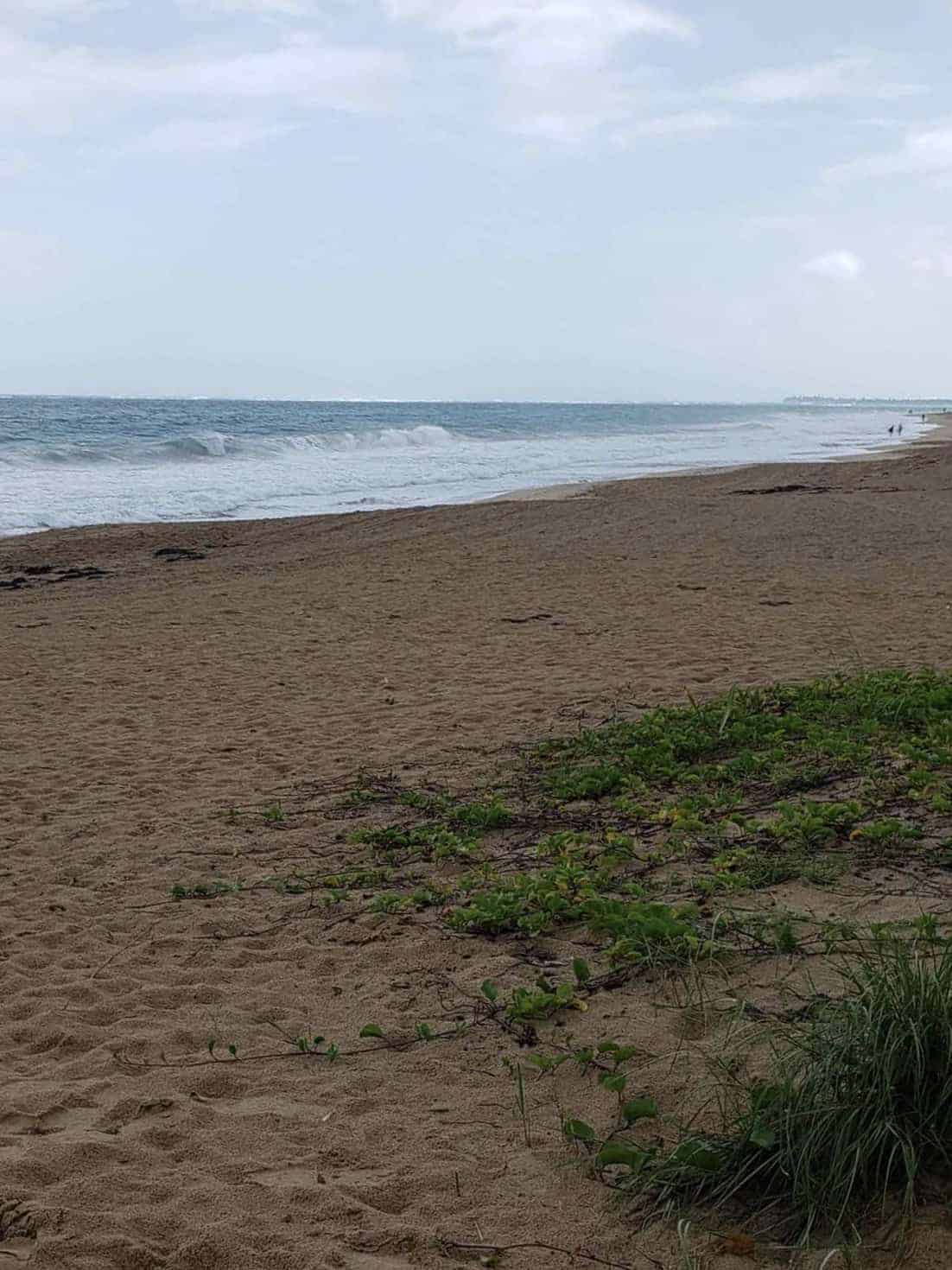
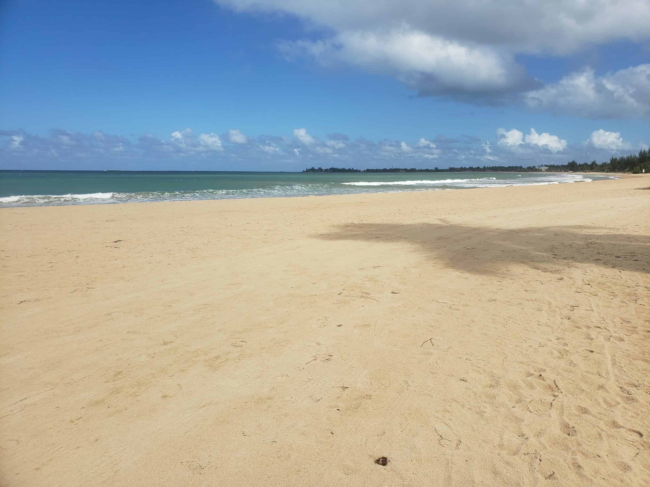
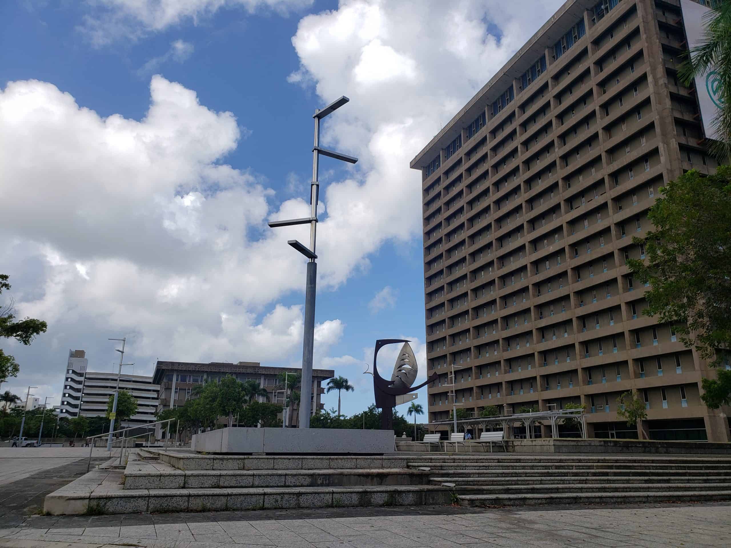
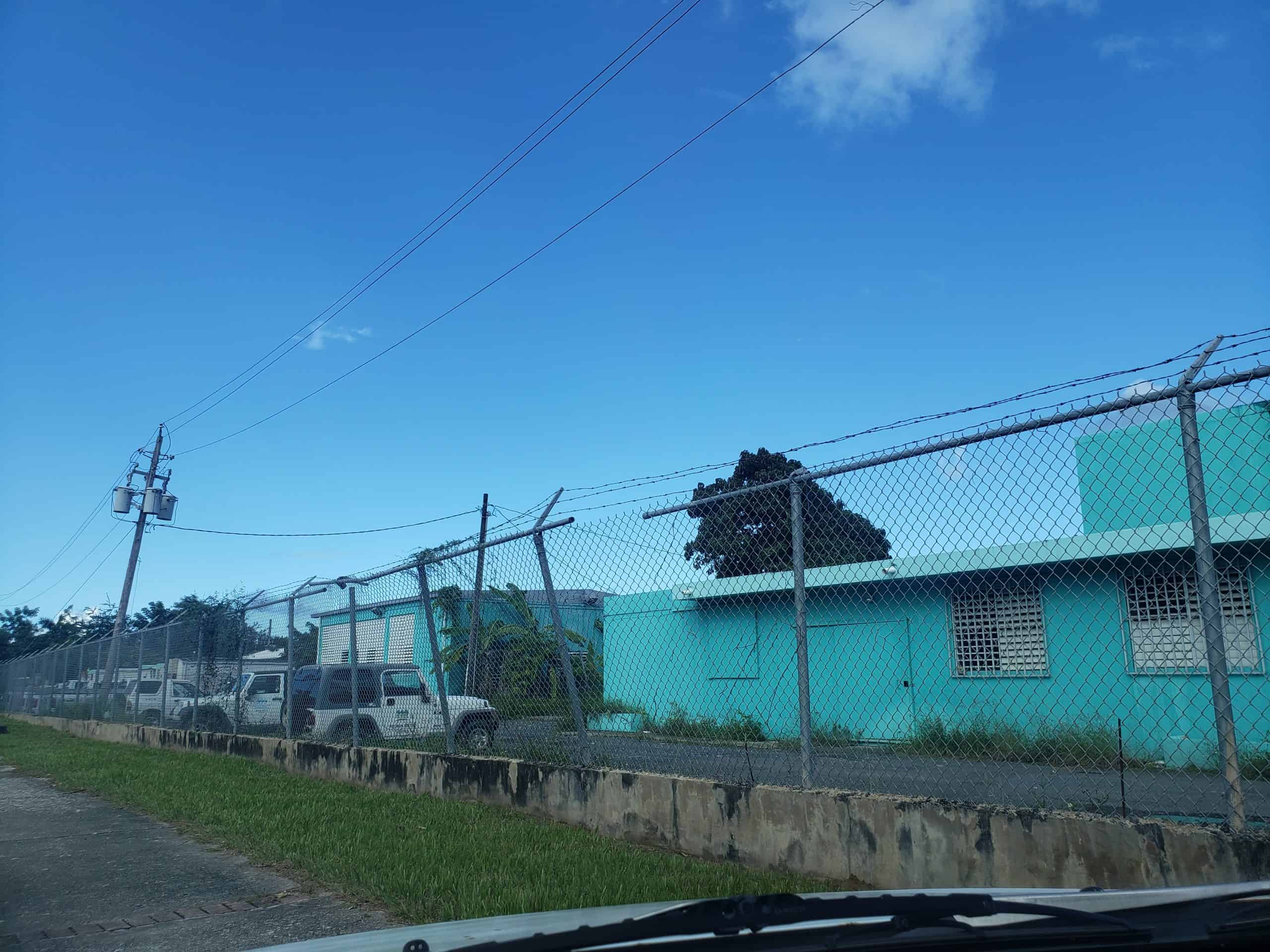
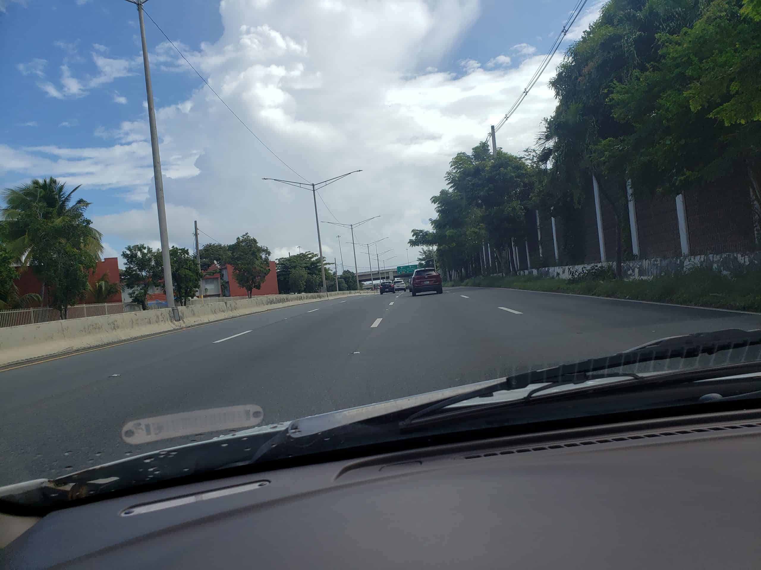
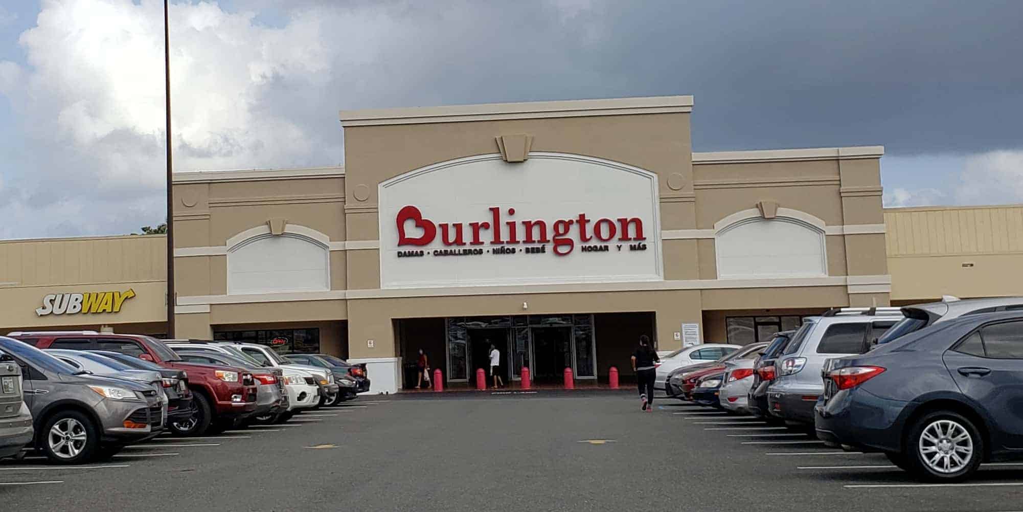
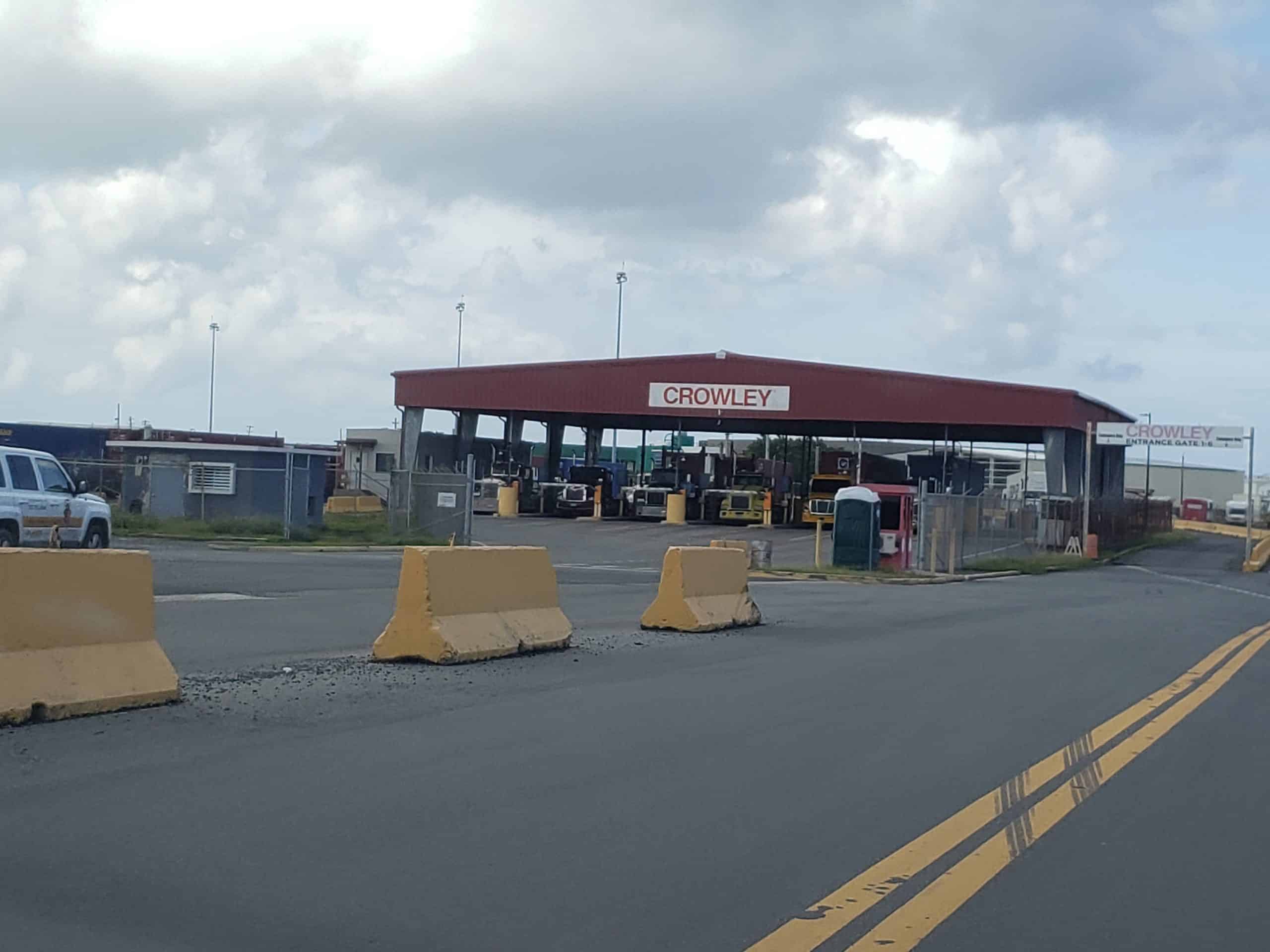
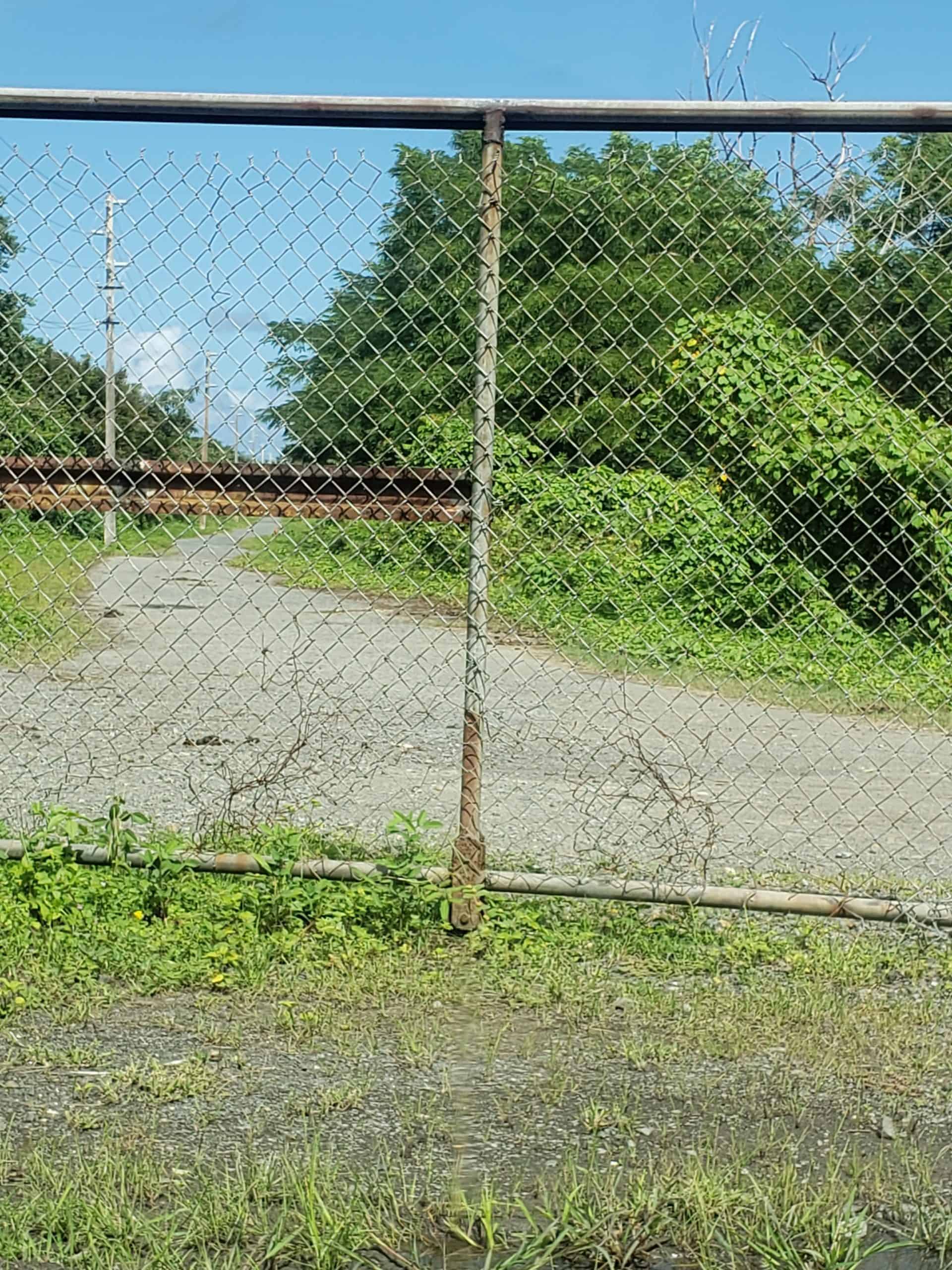
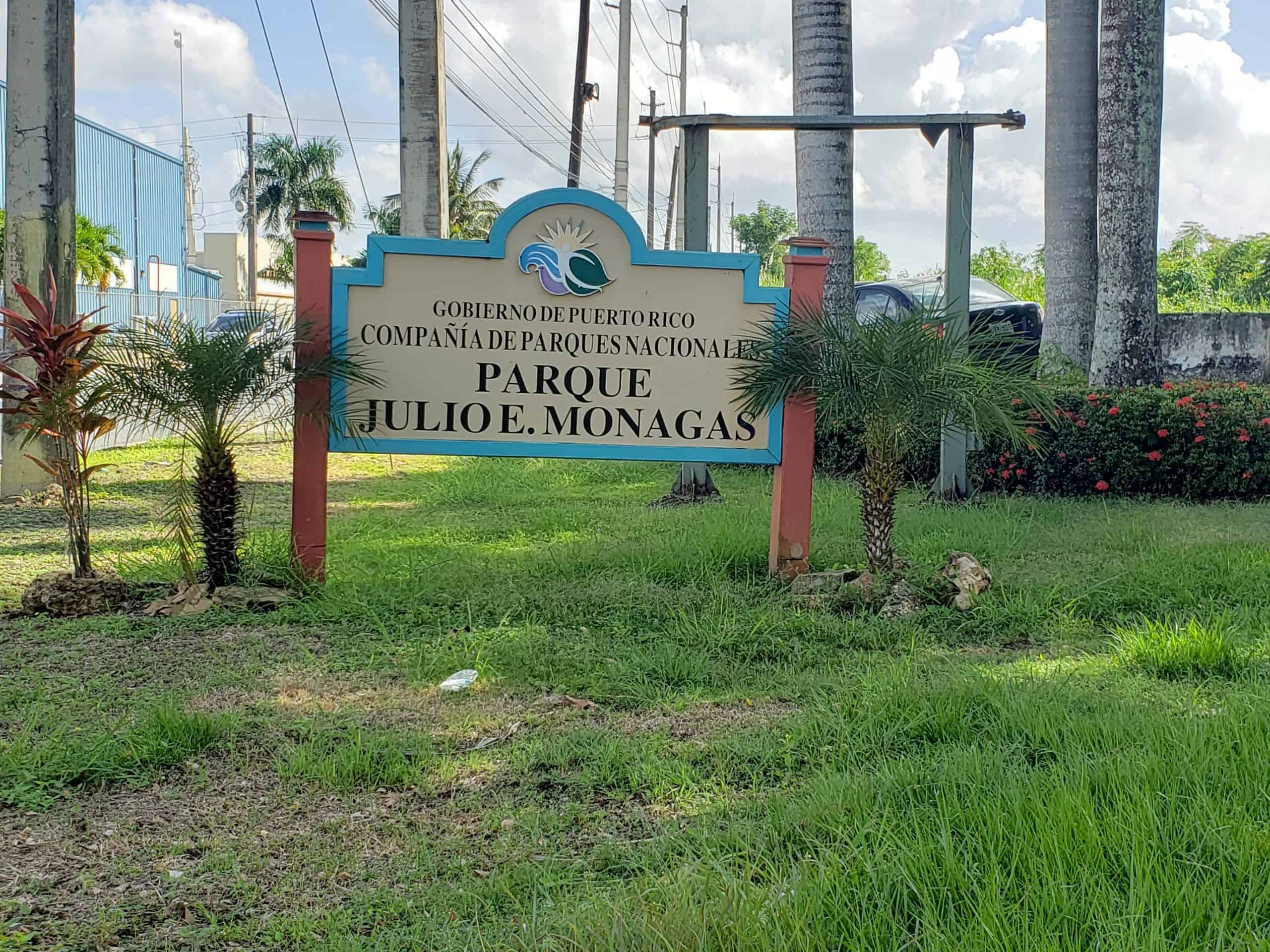
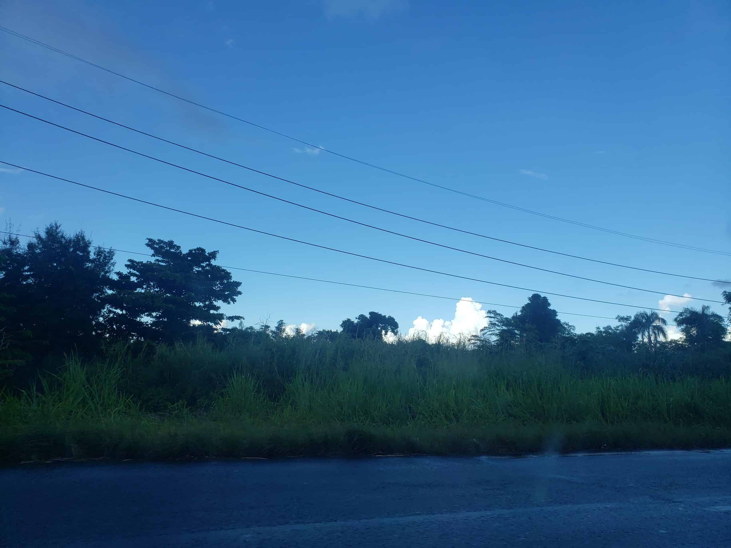
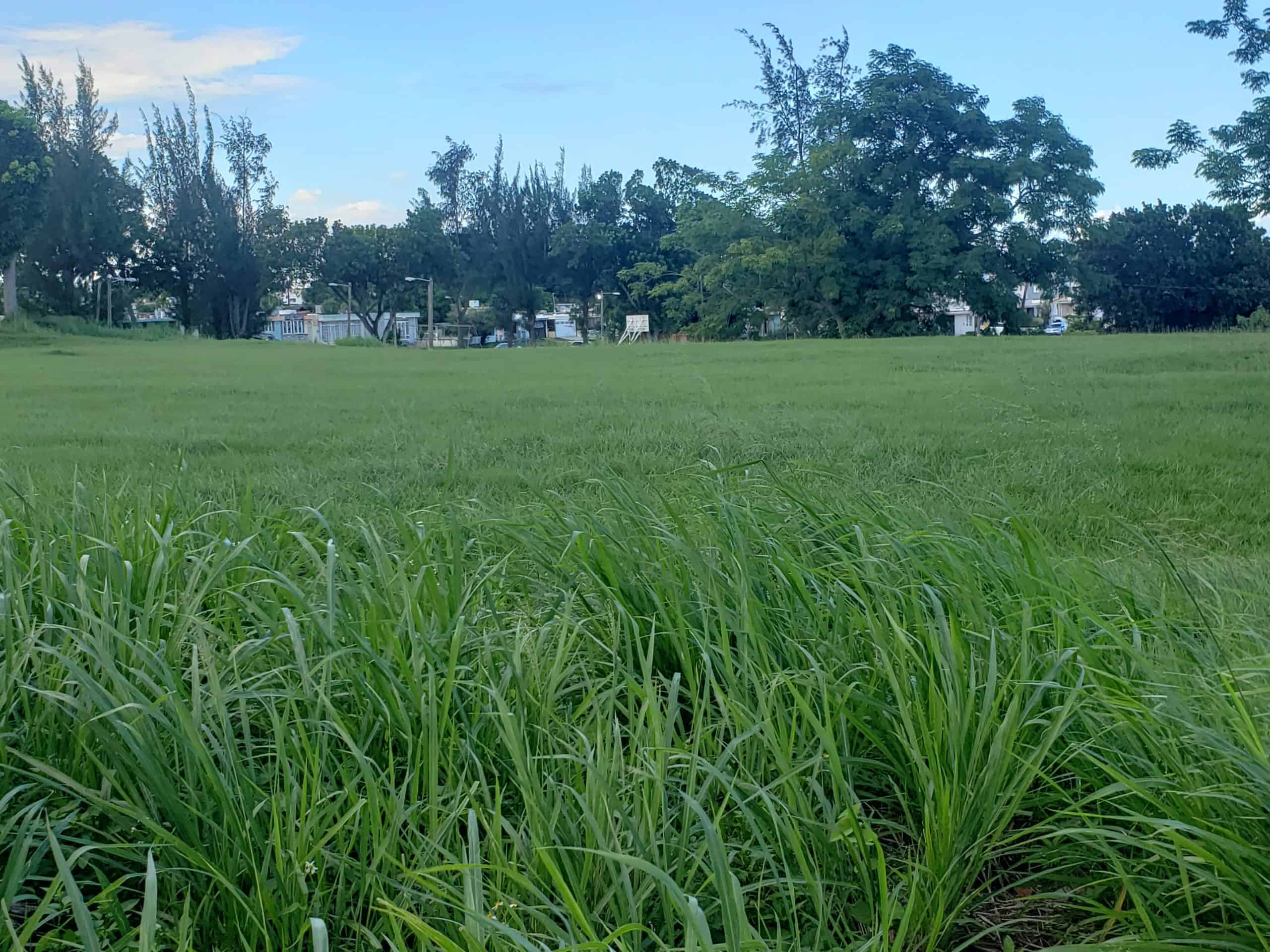
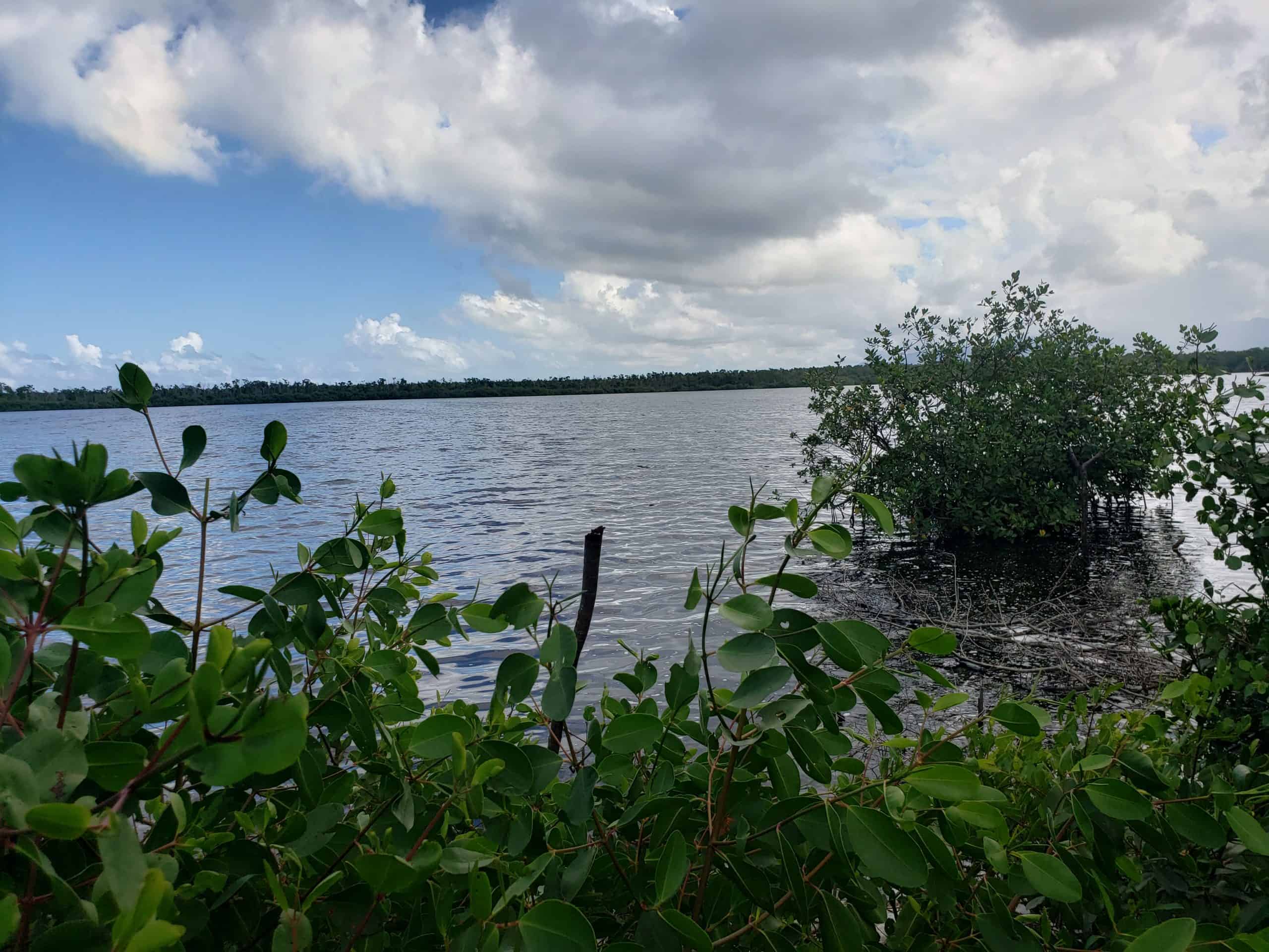
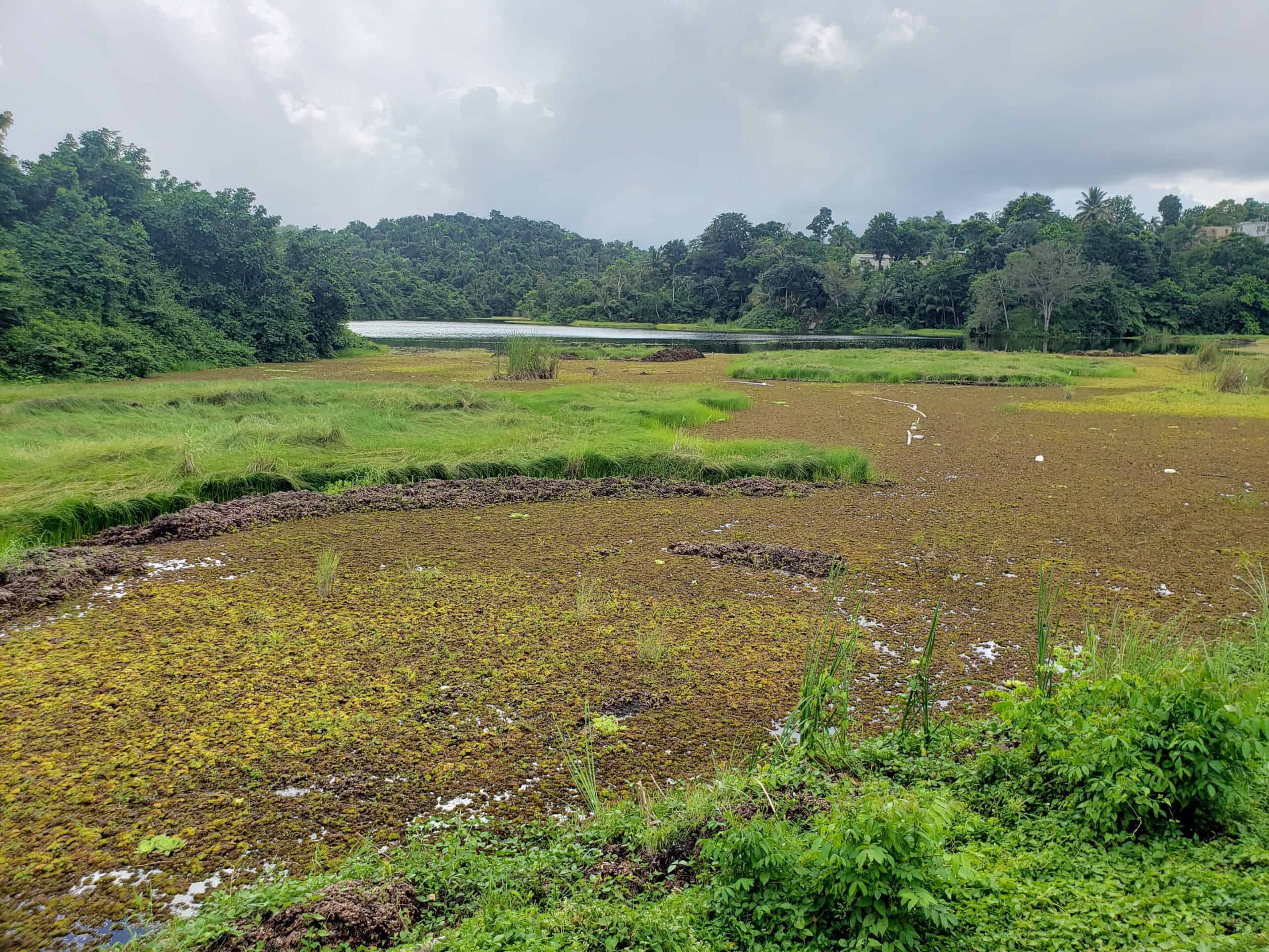
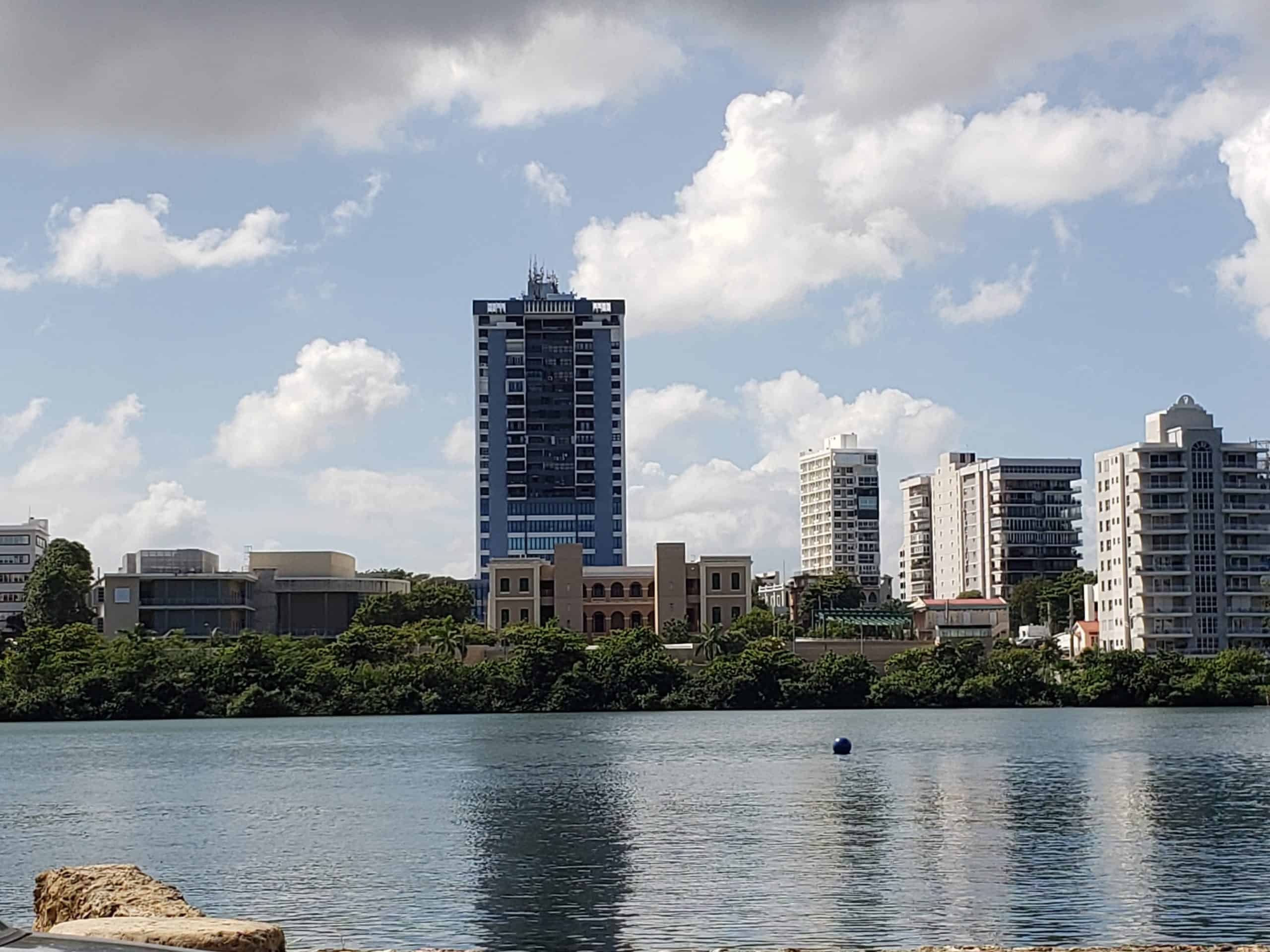
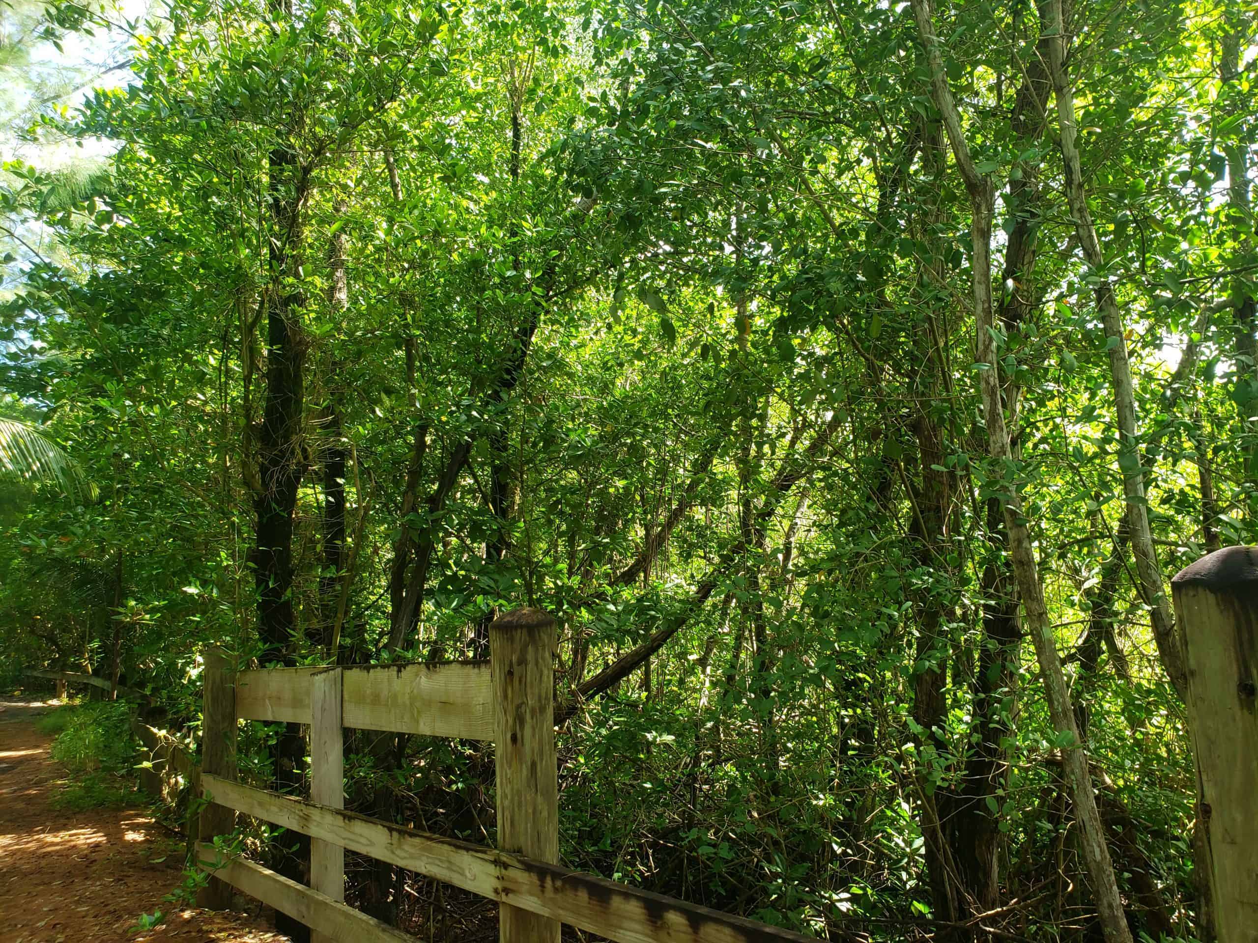
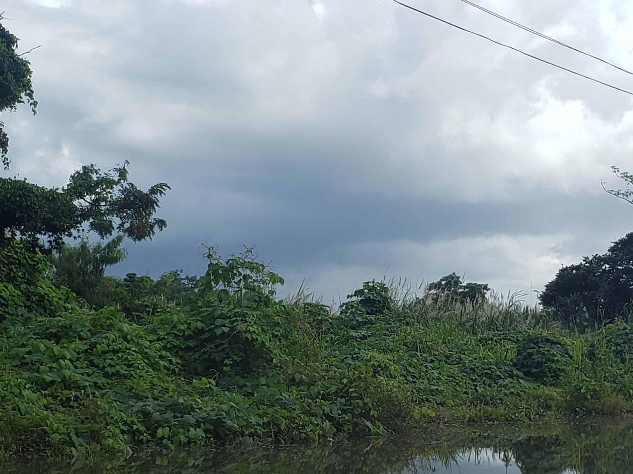
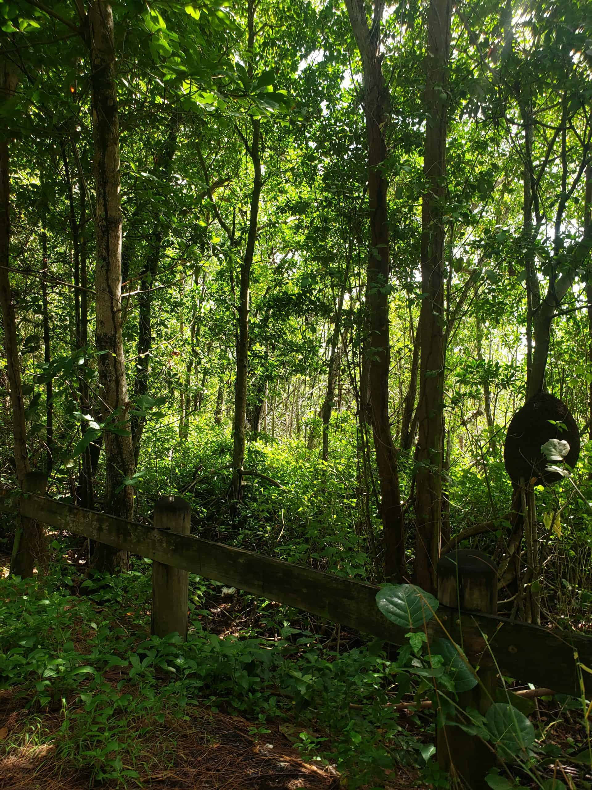
The 58 areas chosen to train the classification algorithm were validated by comparing multi-temporal images from 2020 by Sentinel-2. Below, you can see the 36 training areas that were validated through field visits.