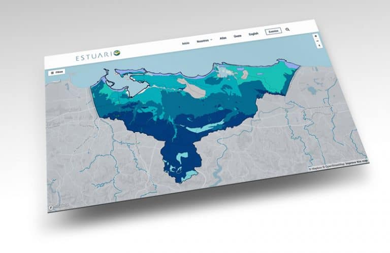
Estuario Public Policy Library
Estuario Public Policy Library The purpose of this Public Policy Library is to
Estuario Public Policy Library The purpose of this Public Policy Library is to
Third report on the environmental condition of the San Juan Bay Estuary –
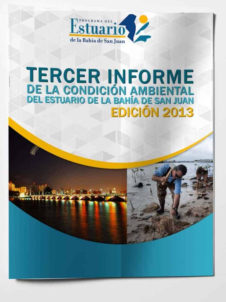
Third report on the environmental condition of the San Juan Bay Estuary –
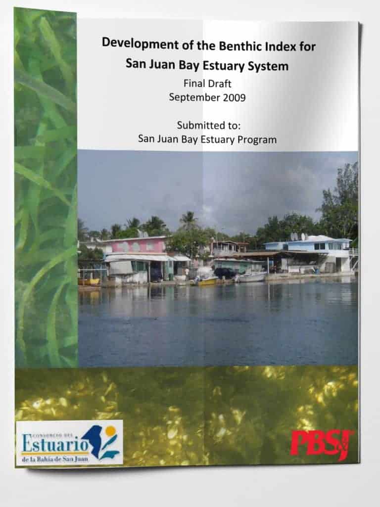
Benthic Index Development for the San Juan Bay Estuary System – Final Draft,
Estuarine environmental indicators for the San Juan Bay Estuary: Evaluation of pollutants in
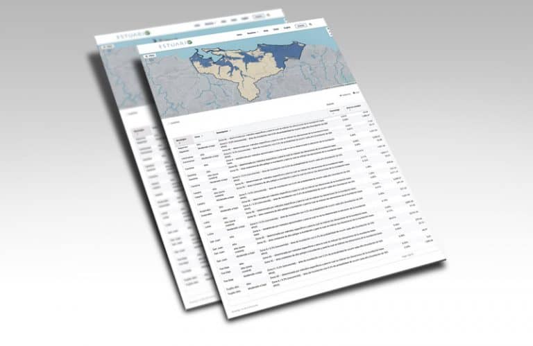
View, download and/or print document This report will be cited as: Programa del

A series of conversations about environmental, cultural, and economic relevance to the estuary from scientific and community perspectives have been recorded as podcasts. “Estuario Sonoro” is a variety of voices and perspectives about the importance of the estuary and its diverse dimensions. In “Estuario Profundo” Millie Gil interviews scientists, consultants, and environmental leaders about topics related to the conservation of the estuary.
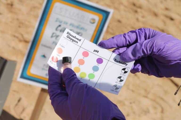
The Water Quality Monitoring Day is the biggest civic science event in Puerto
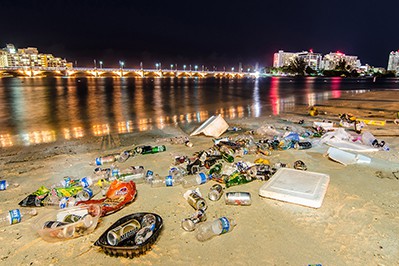
Accesa este enlace para interactuar con el Mapa de Desperdicios Sólidos que muestra
The information gathered from the United States Census Bureau (the Bureau) every 10

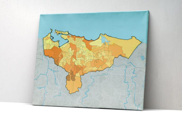
This map shows the percentage of the population that is unemployed in each
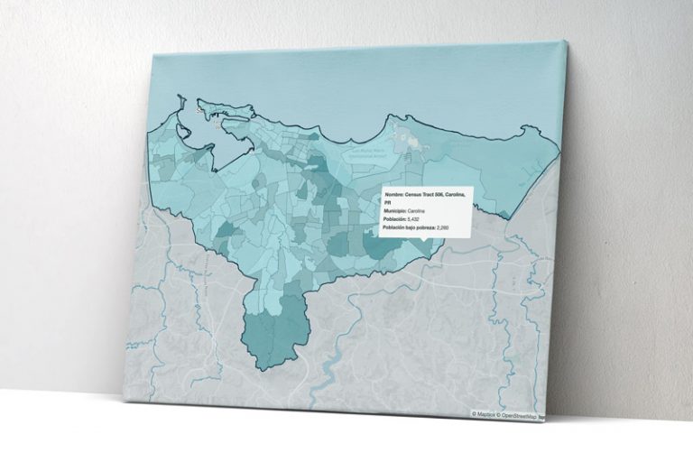
This map shows the median annual household income within the basin of the
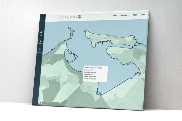
In this demographic section we present data published by the United States Census
This section includes the Flood Insurance Rate Map (FIRM), prepared and approved by
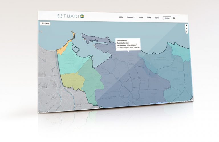
The archipelago of Puerto Rico is divided into various geopolitical regions that have
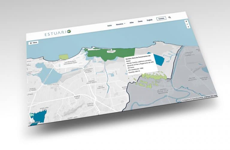
Description Protected natural areas include forests of the Commonwealth of Puerto Rico, natural

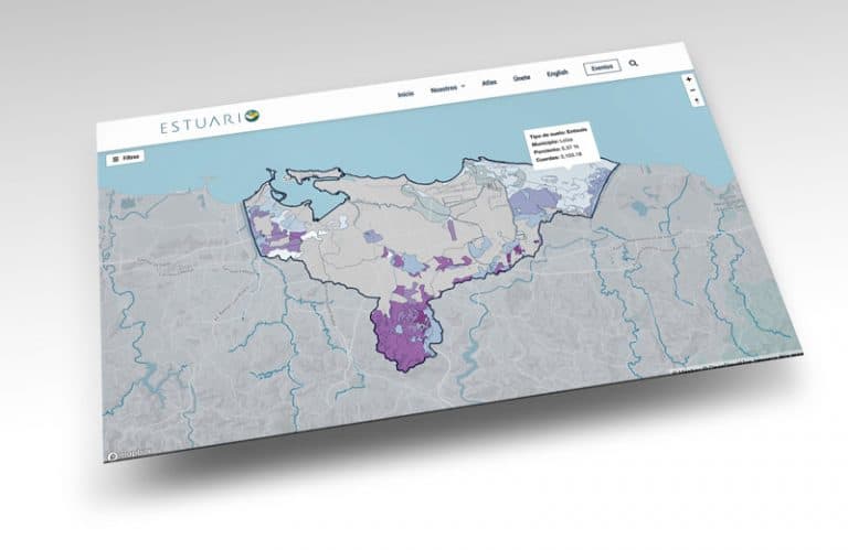
Los mapas de usos y cubiertas del suelo son una clasificación del territorio que le permiten al usuario entender cómo se ha desarrollado su entorno y la naturaleza. Ambos conceptos son extesamente utilizados y a menudo su uso indistinto provoca cierta confusión.
través de los años, el Programa del Estuario de la bahía de San Juan ha establecido protocolos, estrategias, iniciativas y colaboraciones para lograr la sostenibilidad de nuestros esfuerzos. La documentación apropiada de todos los procesos y resultados ha permitido al PEBSJ evaluar su rendimiento y mejorar sus sistemas.

El Programa del Estuario de la Bahía de San Juan realiza un seguimiento semanal de los niveles bacteriológicos en algunas de las playas y lagunas a lo largo del litoral costero de la zona noreste de la isla.
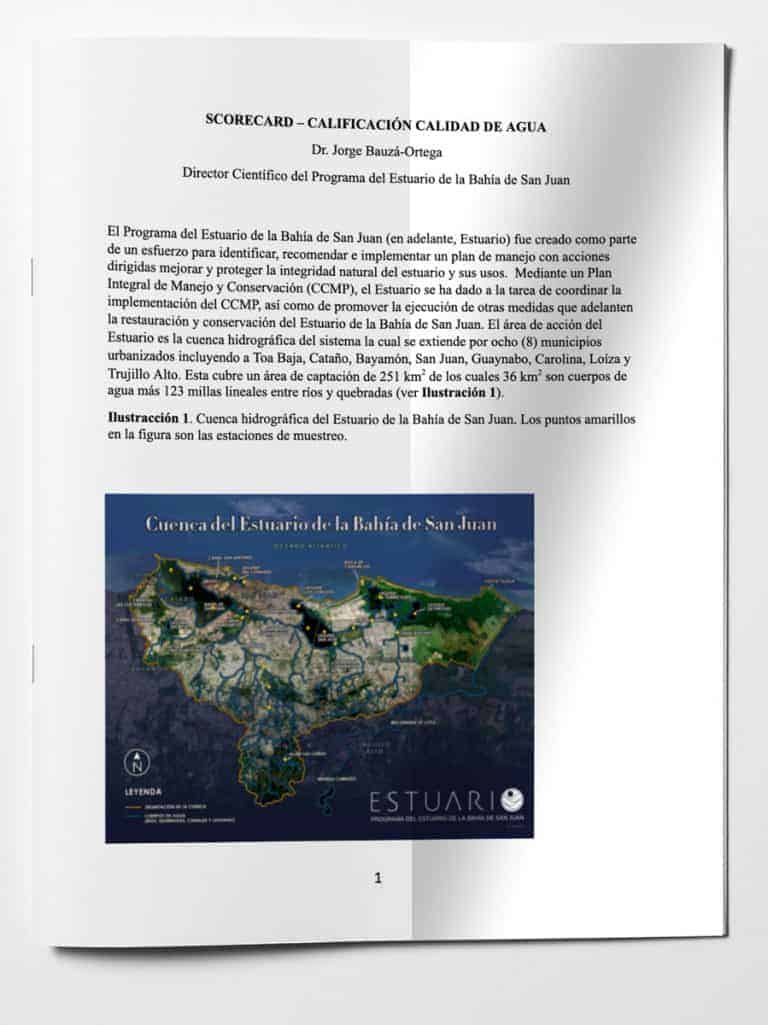
El Programa de Monitoreo de Calidad de Agua del Estuario de la Bahía de San Juan tiene como función el velar por la calidad de las agua del Estuario de la Bahía de San Juan mediante la caracterización físico-química de sus cuerpos de agua.