Search
Close this search box.

Atlas

The Atlas of the San Juan Bay Estuary is an educational instrument that allows citizens to learn about scientific, planning, environmental and community activities around this area.

2020 Monitoring Day: Live Data

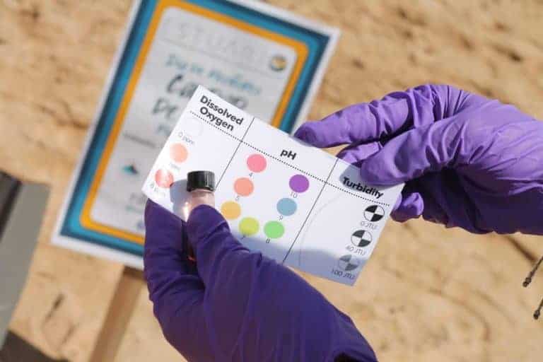
The Water Quality Monitoring Day is the biggest civic science event in Puerto Rico. It is coordinated by the Estuario de la Bahía de San Juan, in collaboration with state and federal

See more »
Solid Waste Map

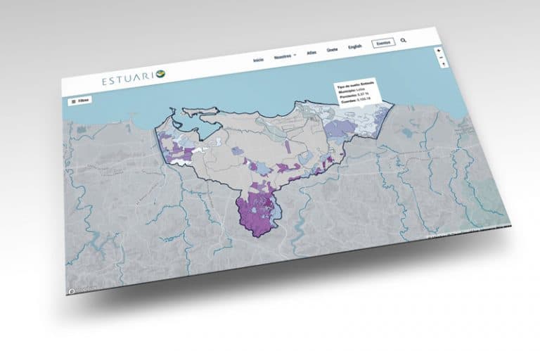
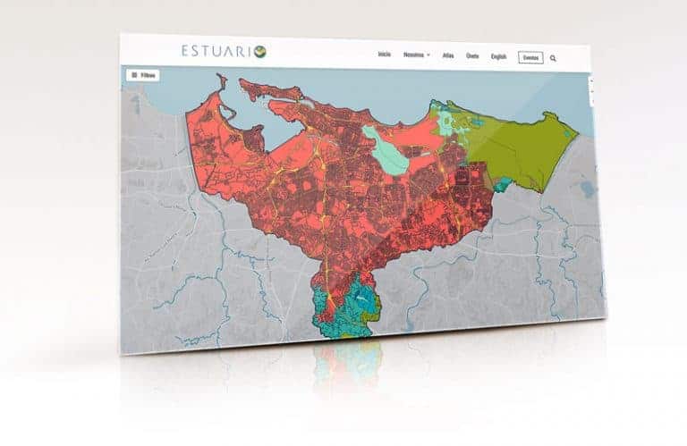
Accesa este enlace para interactuar con el Mapa de Desperdicios Sólidos que muestra
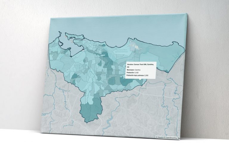
 datos espaciales de: centros de acopio, EBAS Metro, estaciones de bombas de la Autoridad de Acueductos y Alcantarillados, municipios,

See more »
Unemployment Rates

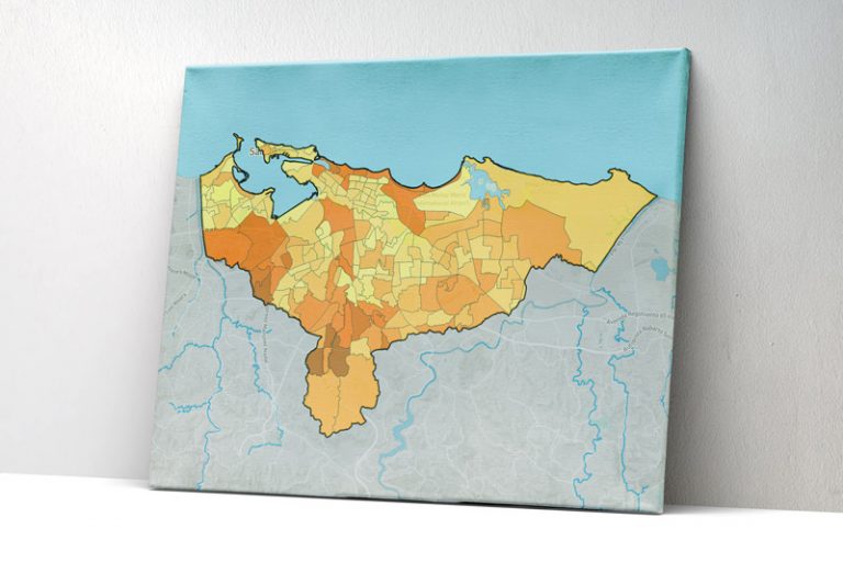
This map shows the percentage of the population that is unemployed in each census tract for the region that includes the Estuario de la Bahía de San Juan, according to the data

See more »
Median annual household income

This map shows the median annual household income within the basin of the
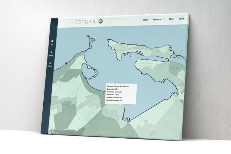
 Estuario de la Bahía de San Juan, according to the United States Census Bureau. The annual household income in

See more »
Flood Zones

This section includes the Flood Insurance Rate Map (FIRM), prepared and approved by the Federal Emergency Management Agency (FEMA). The Planning Board uses it to designate the areas with a 1% or

See more »
Soil Types

The soil defines the transitional region between the rocks that make up the Earth’s crust (lithosphere) and where living organisms coexist (biosphere) with the gaseous layer that covers the Earth (atmosphere). It

See more »
Land Use Plan

The Puerto Rico Land Use Plan is a document that establishes the public policies of the government of Puerto Rico aimed at the development of the country and the management of the

See more »
Search
Close this search box.

¡Gracias por suscribirte!

Comenzarás a recibir nuestras actualizaciones a partir de este próximo viernes.