
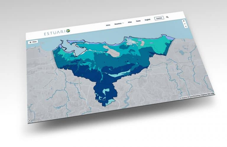
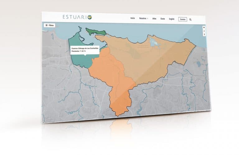
This map presents the hydrological regions that make up the greater Estuary Basin
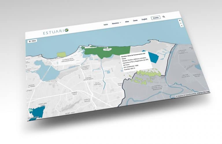
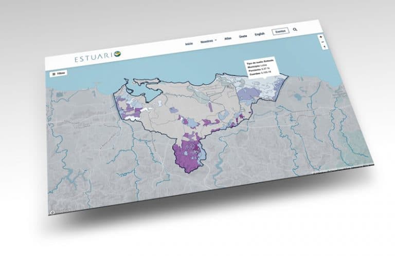
Description The protected natural areas include forests of the Commonwealth of Puerto Rico
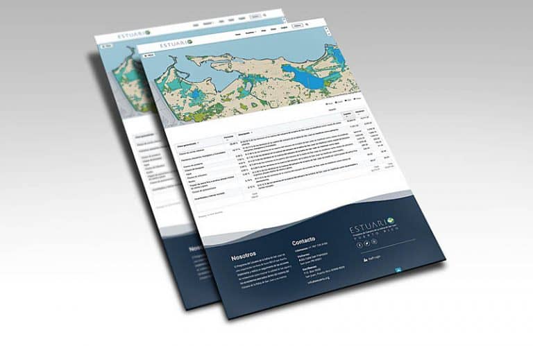
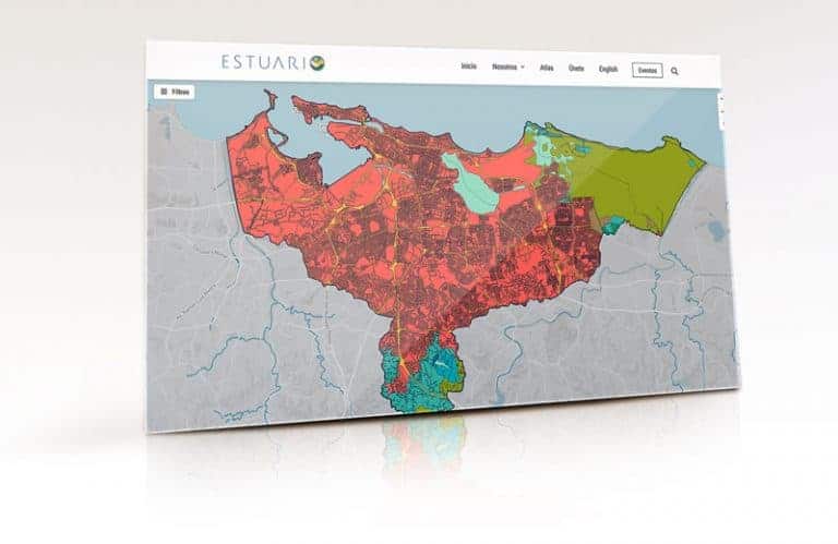
Land use and land cover maps are a classification of the territory that allows users to understand how their environment and nature have developed. Both concepts are widely used, and their interchangeable use often leads to confusion.